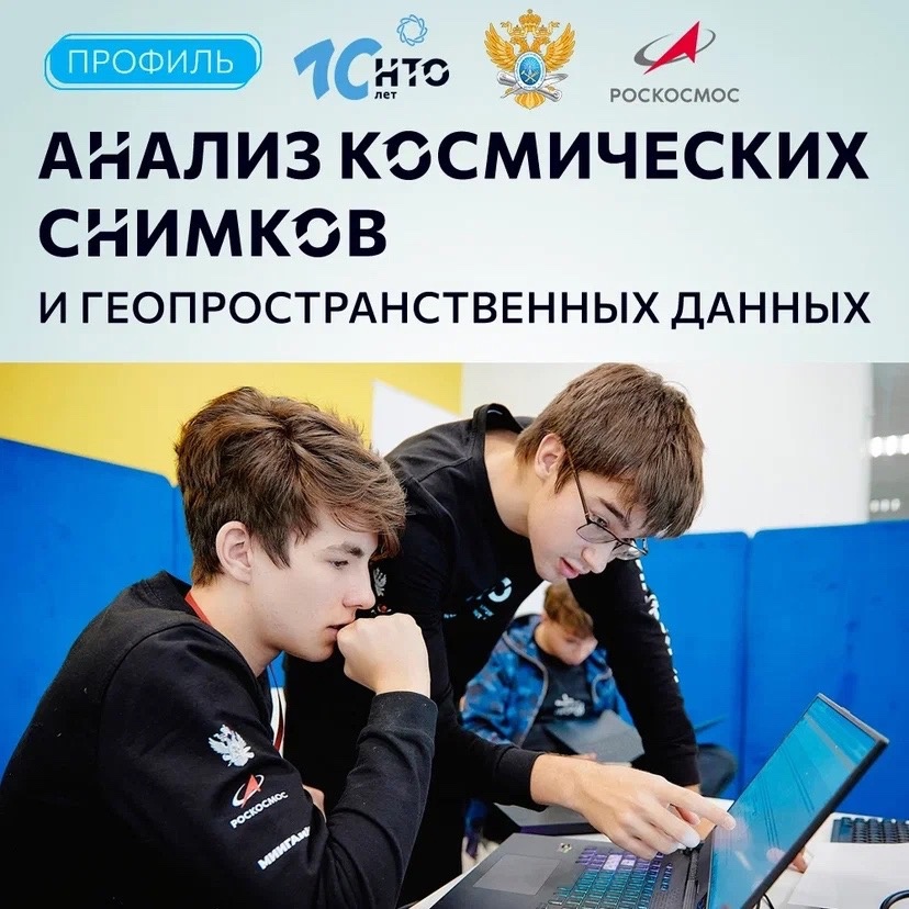
Registration for the profile "Analysis of Space Images" of the National Technological Olympiad is now open
Did you know that space imagery has long been used to track fires and floods, find poachers, locate minerals, and more? If you want to understand how Earth's problems are solved from space, check out the "Analyzing Space Images" profile National Technological Olympiad
- Registration takes place here: https://vk.cc/czo6W0
- Organizing university: MIREA - Russian Technological University
- Partner: Roscosmos
- Which subjects should be fine:
computer science, geography
- What's to be done in the finals?
The finalists will have to find the necessary territories and objects on geographical maps, determine on them the character of relief, type of vegetation, character of snow cover, compare images and analyze what has changed on them.
- What's important in the final profile?
It is important to know how to work with spatial data, methods of raster image classification, use at least one algorithm that allows to detect changes using space images.
- Can this be learned in preparation for the profile?
Yes, lots of useful material here:
https://vk.cc/czz4iU
